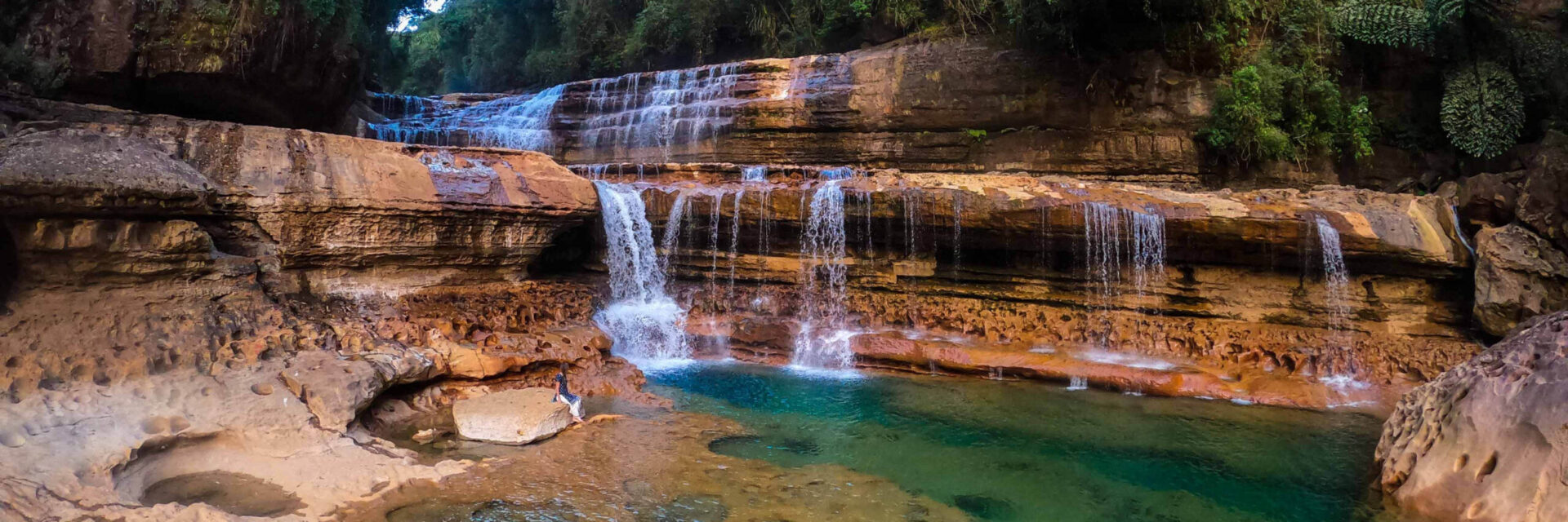
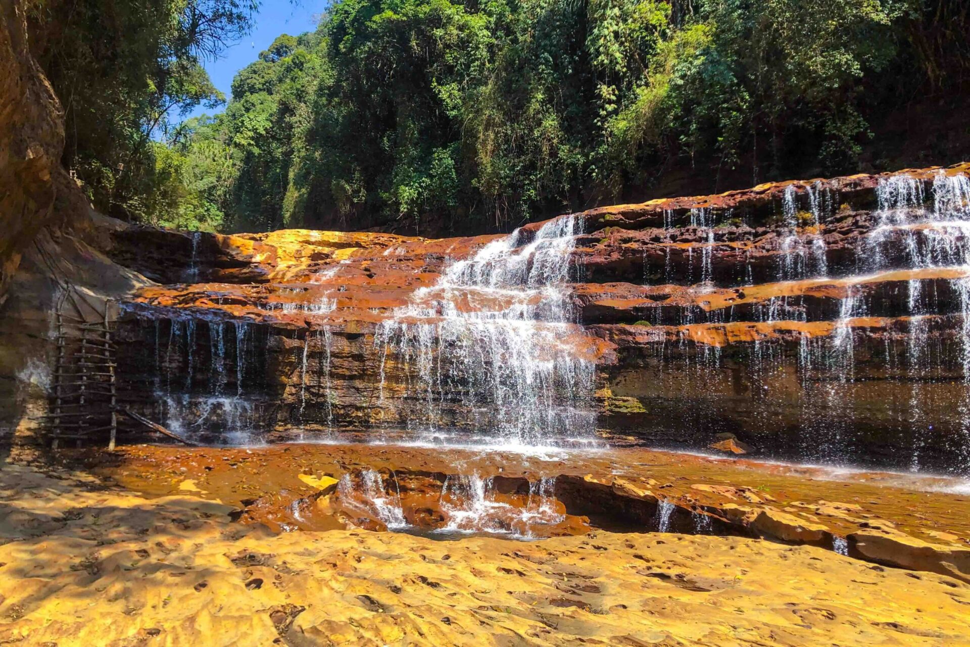
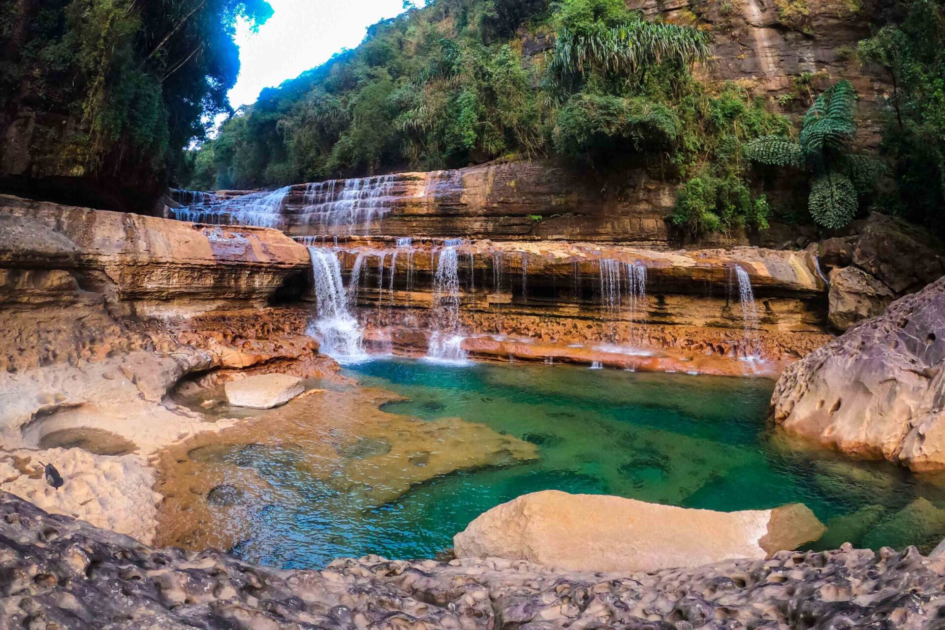
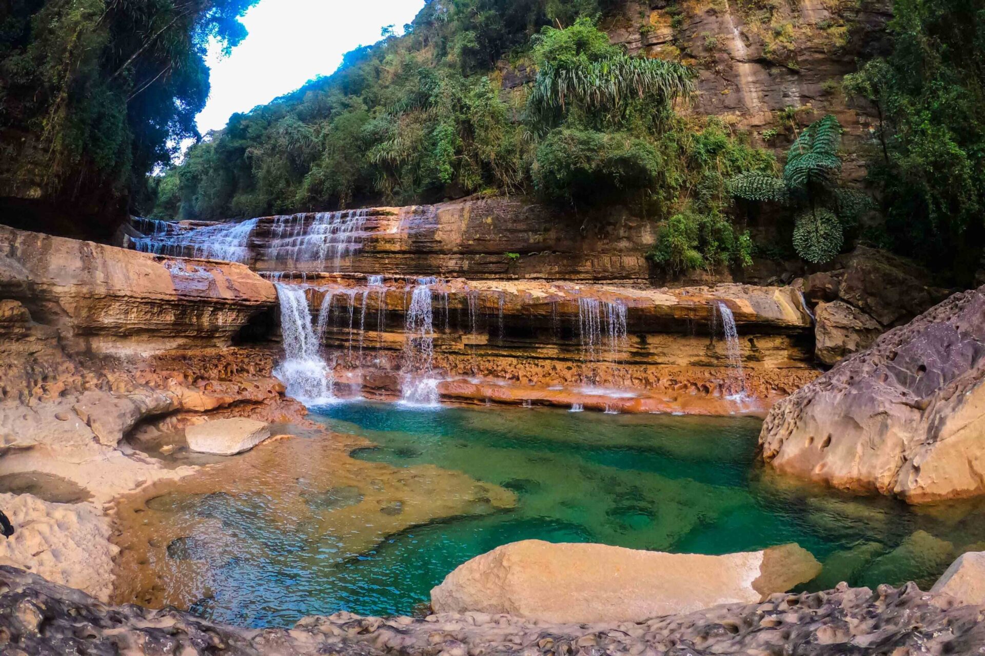
Tlai Falls
Ideal Time
Travel by Car
Walking Time
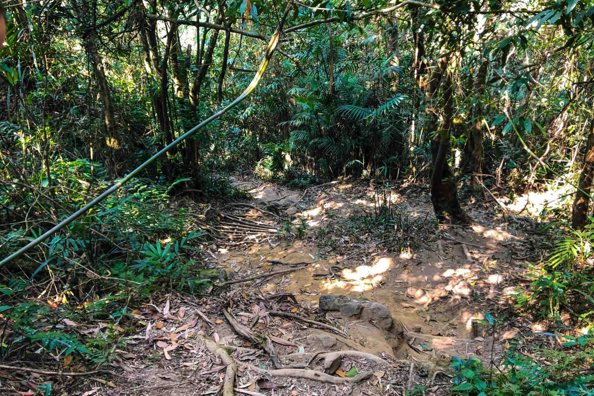
Difficulty Terrain
Only accessible on foot
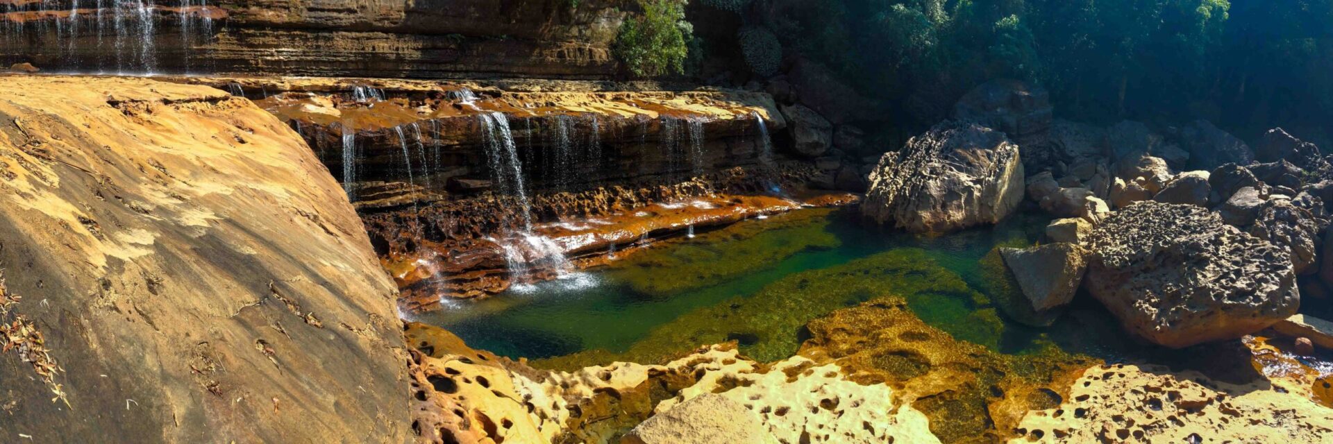
Allow to swim
Entrance fee
Parking fee
Restaurant nearby
Toilets available
Direction Sign Boards
Description
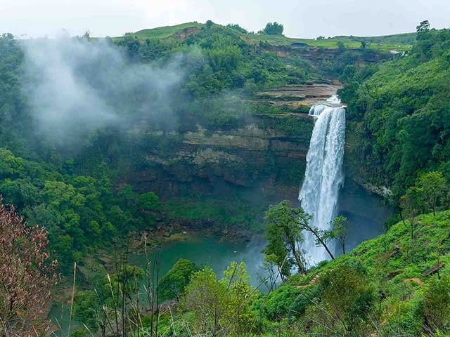
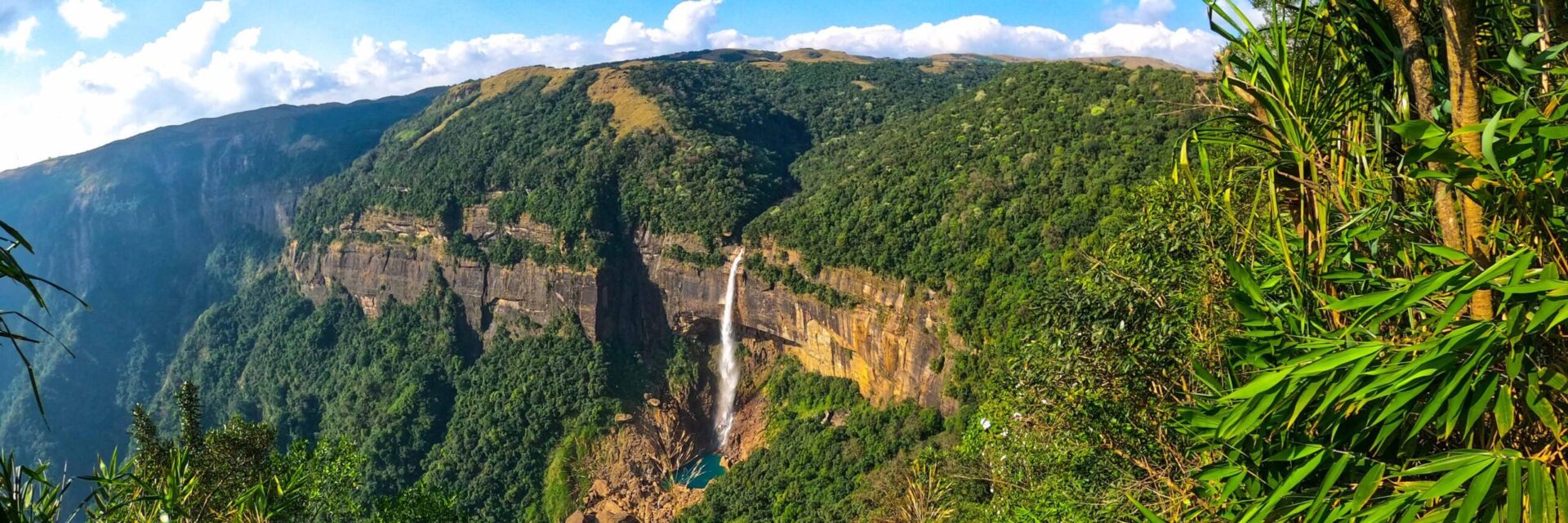
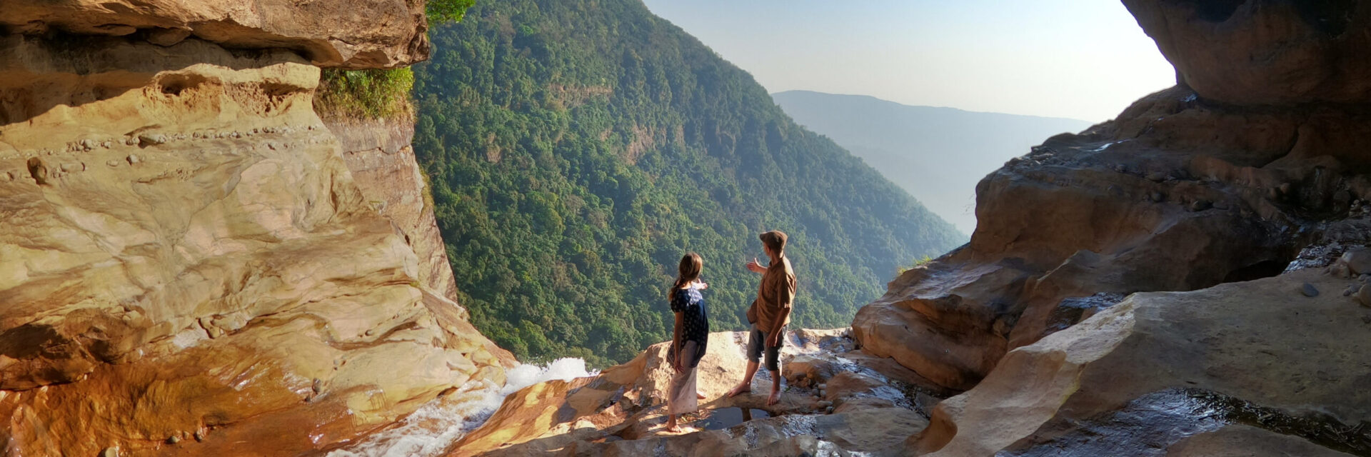
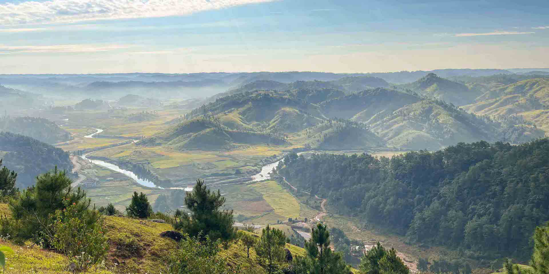
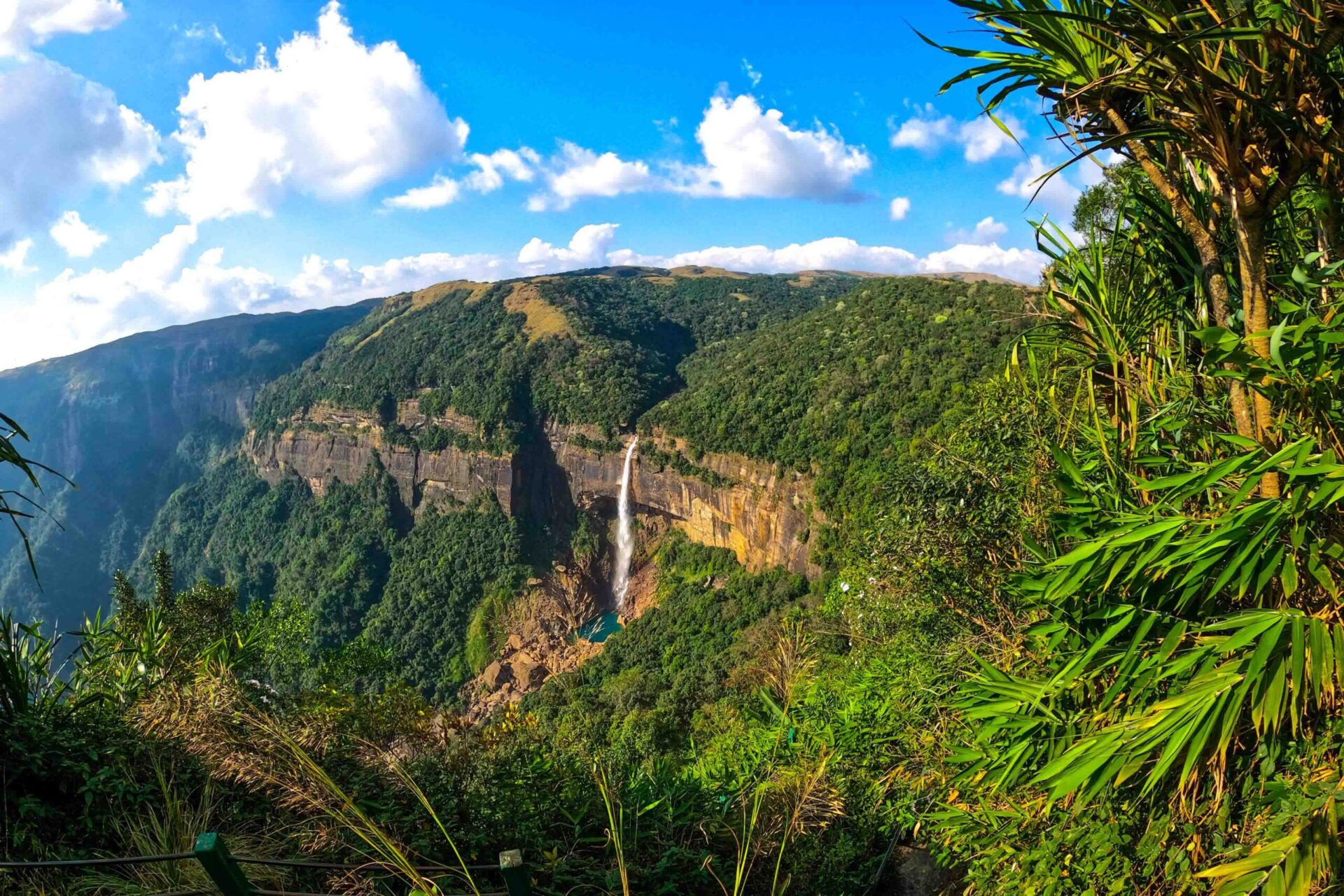
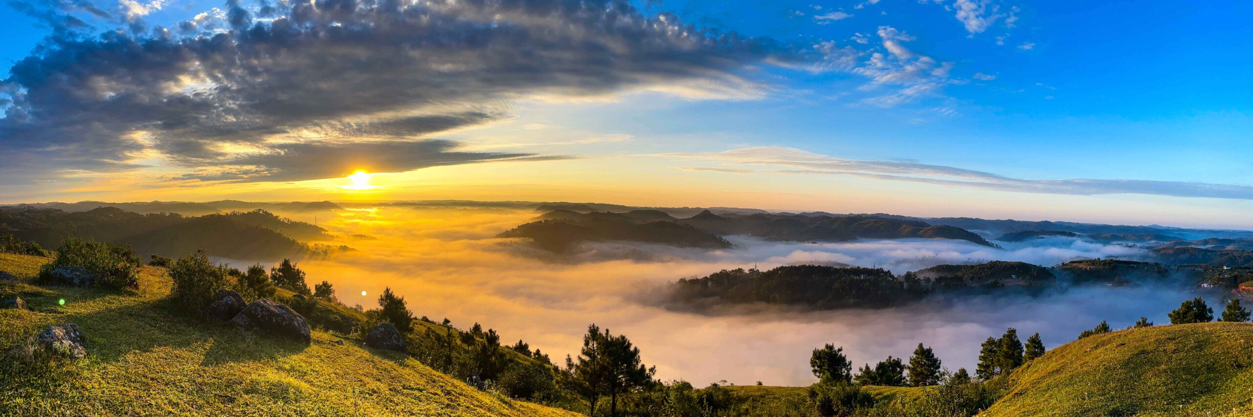
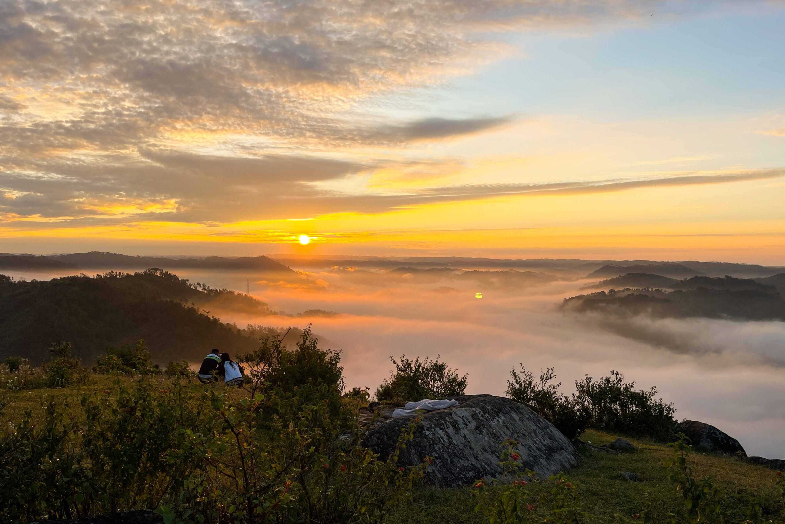
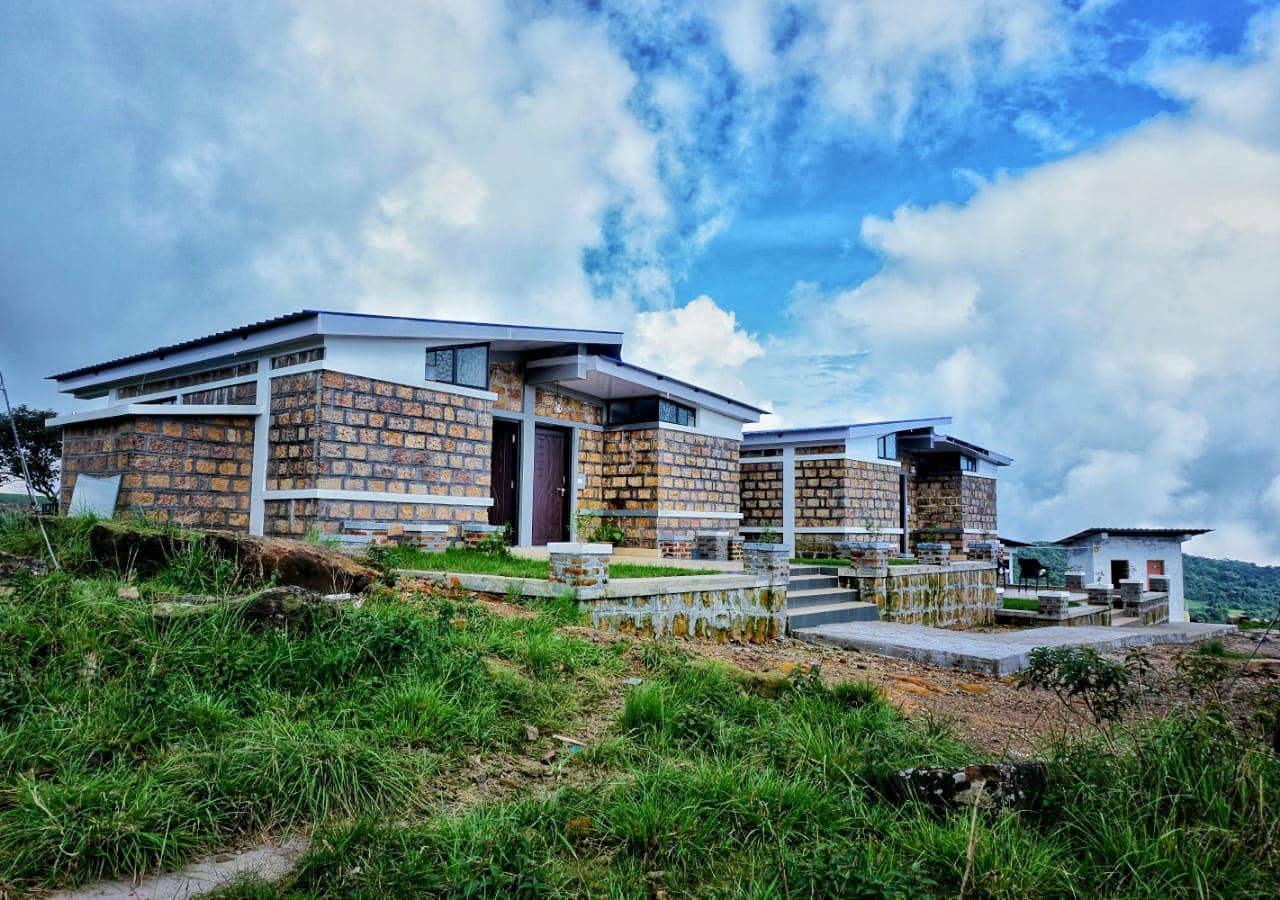
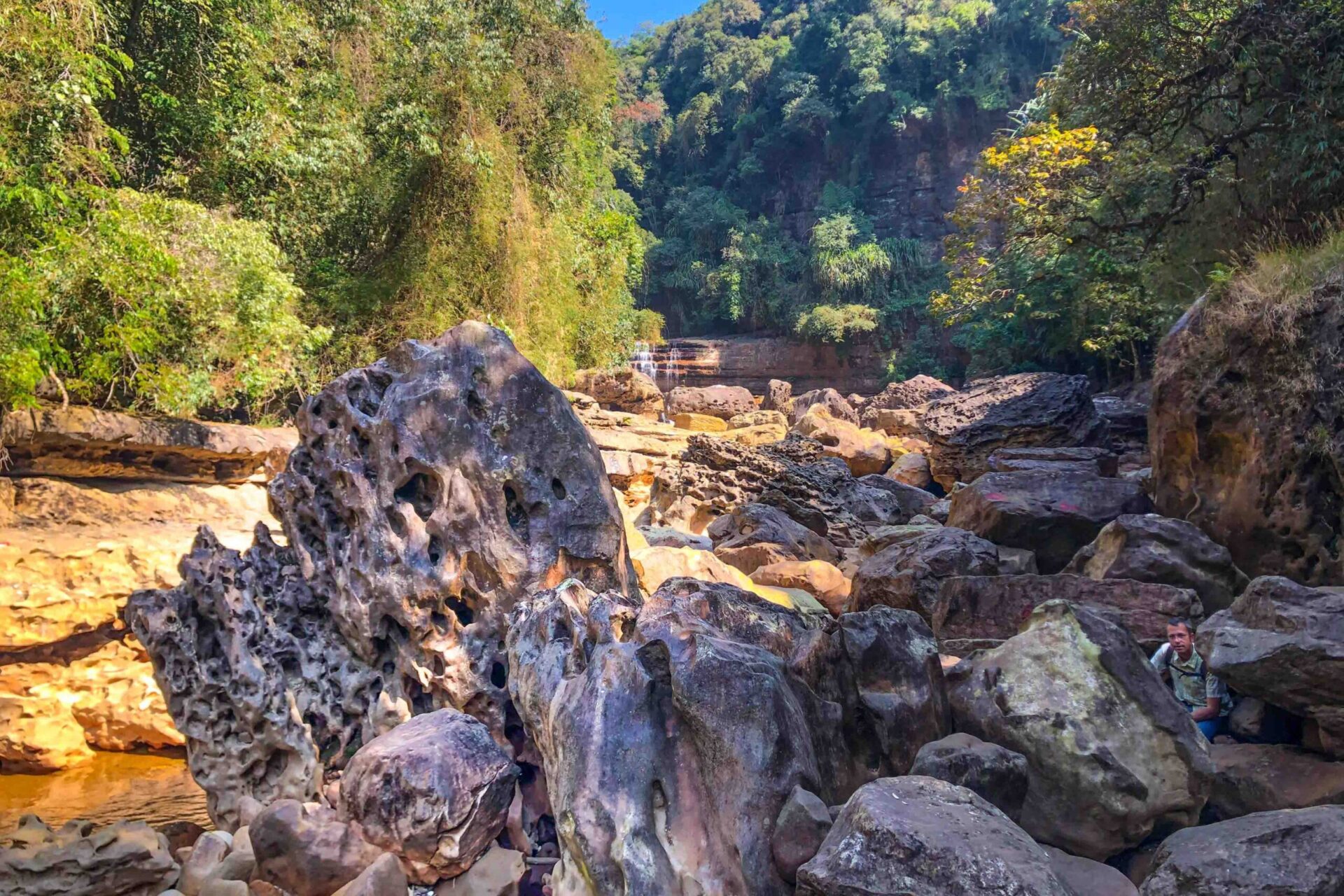
Near the Nohkalikai Falls viewpoint, located in Meghalaya, Northeast India, near the city known as Sohra or Cherrapunjee, a new trek to the top of the Nohkalikai Falls has been opened to visitors and accessible only during the dry season.
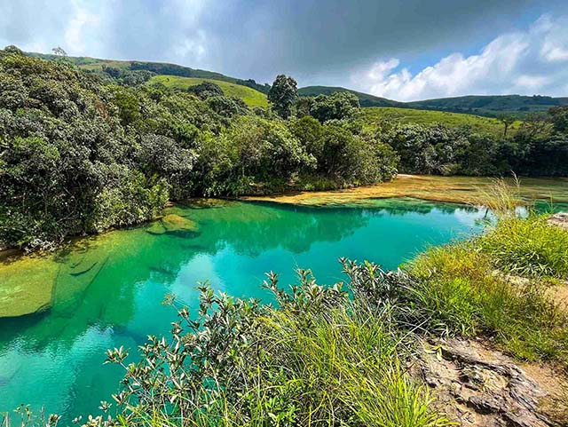
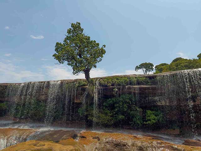
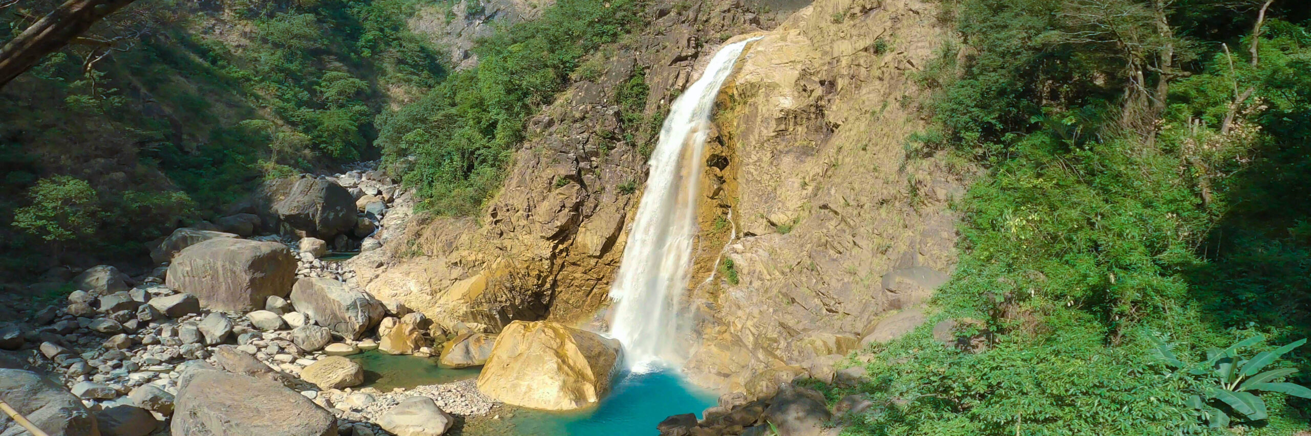
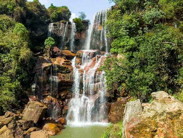
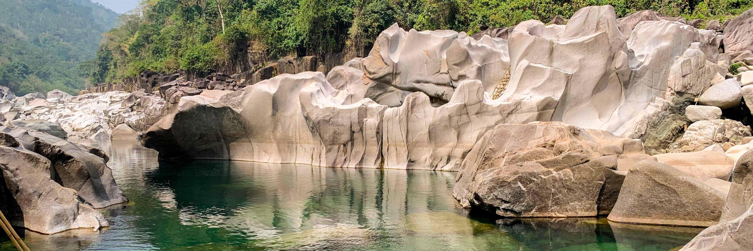
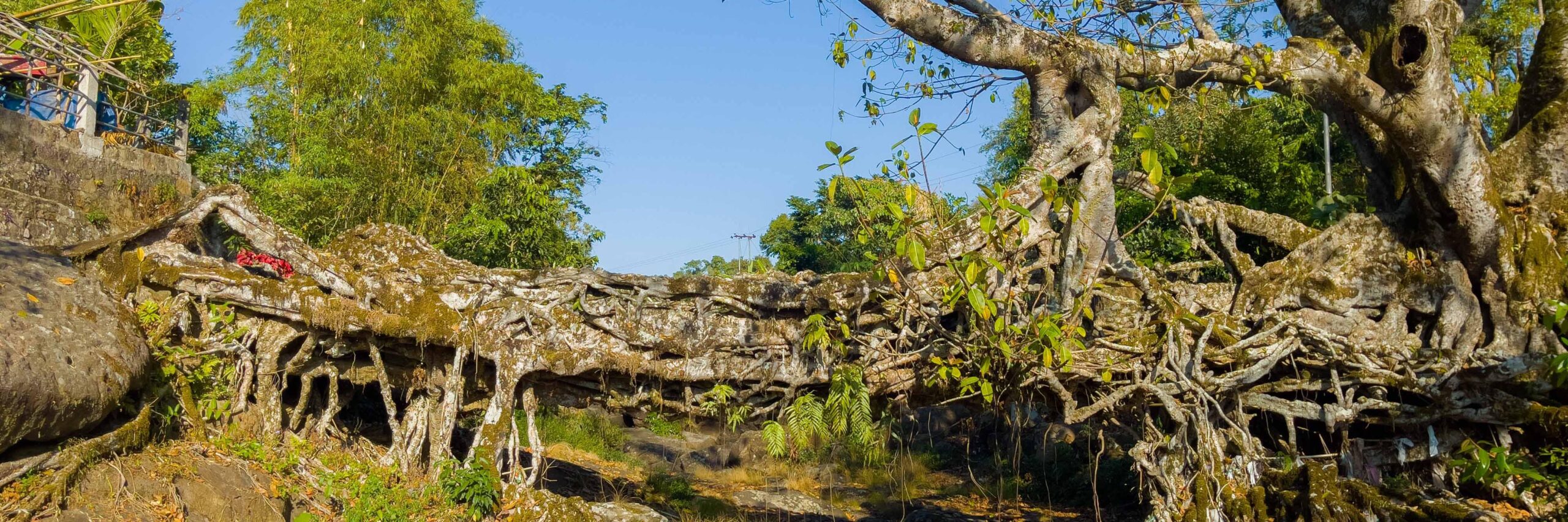
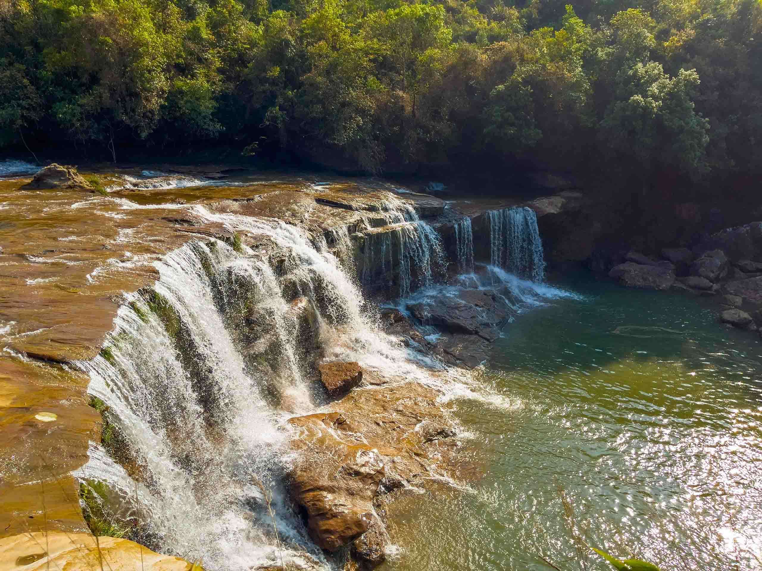
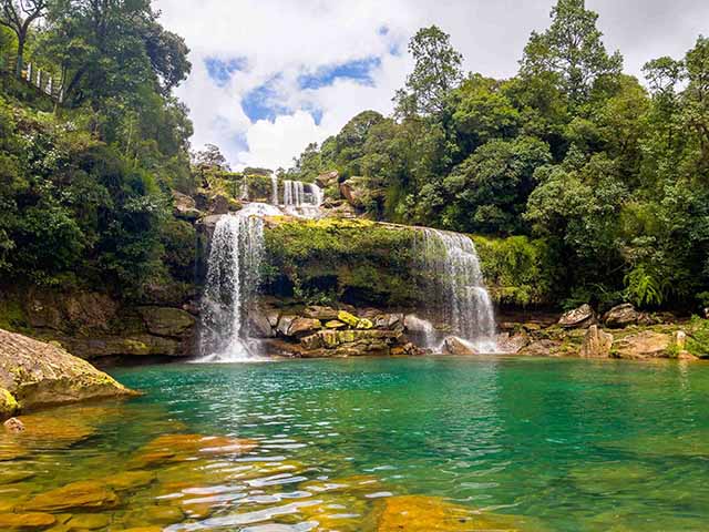
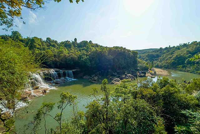
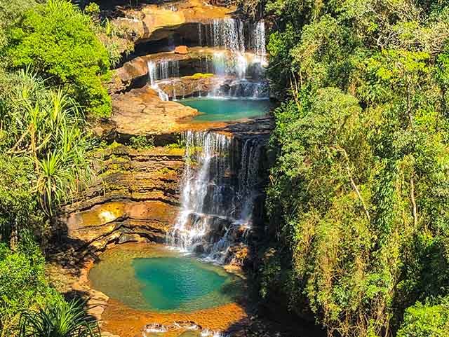
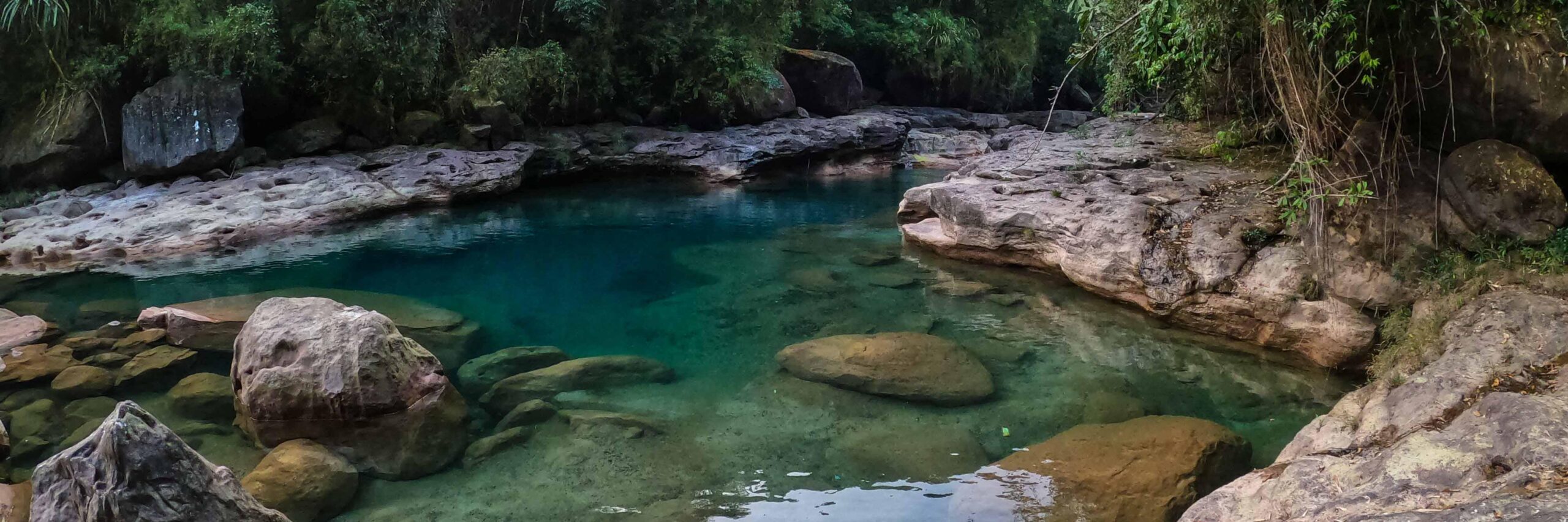
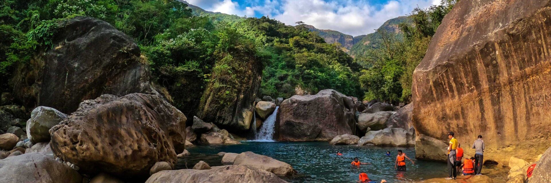
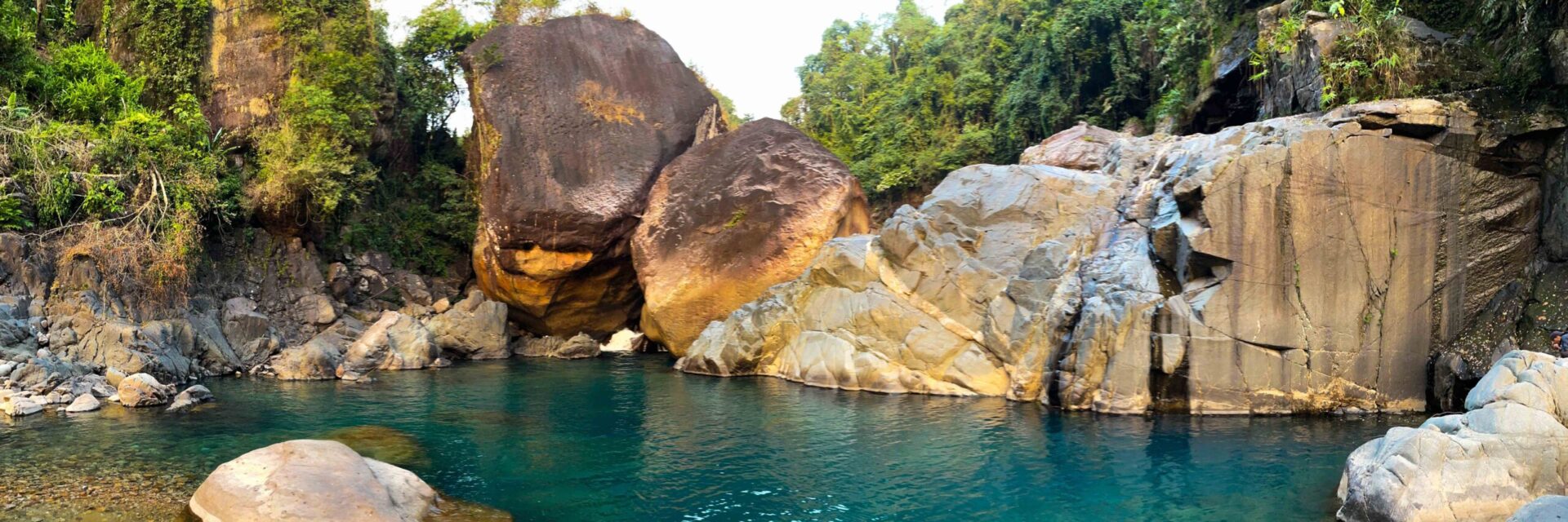
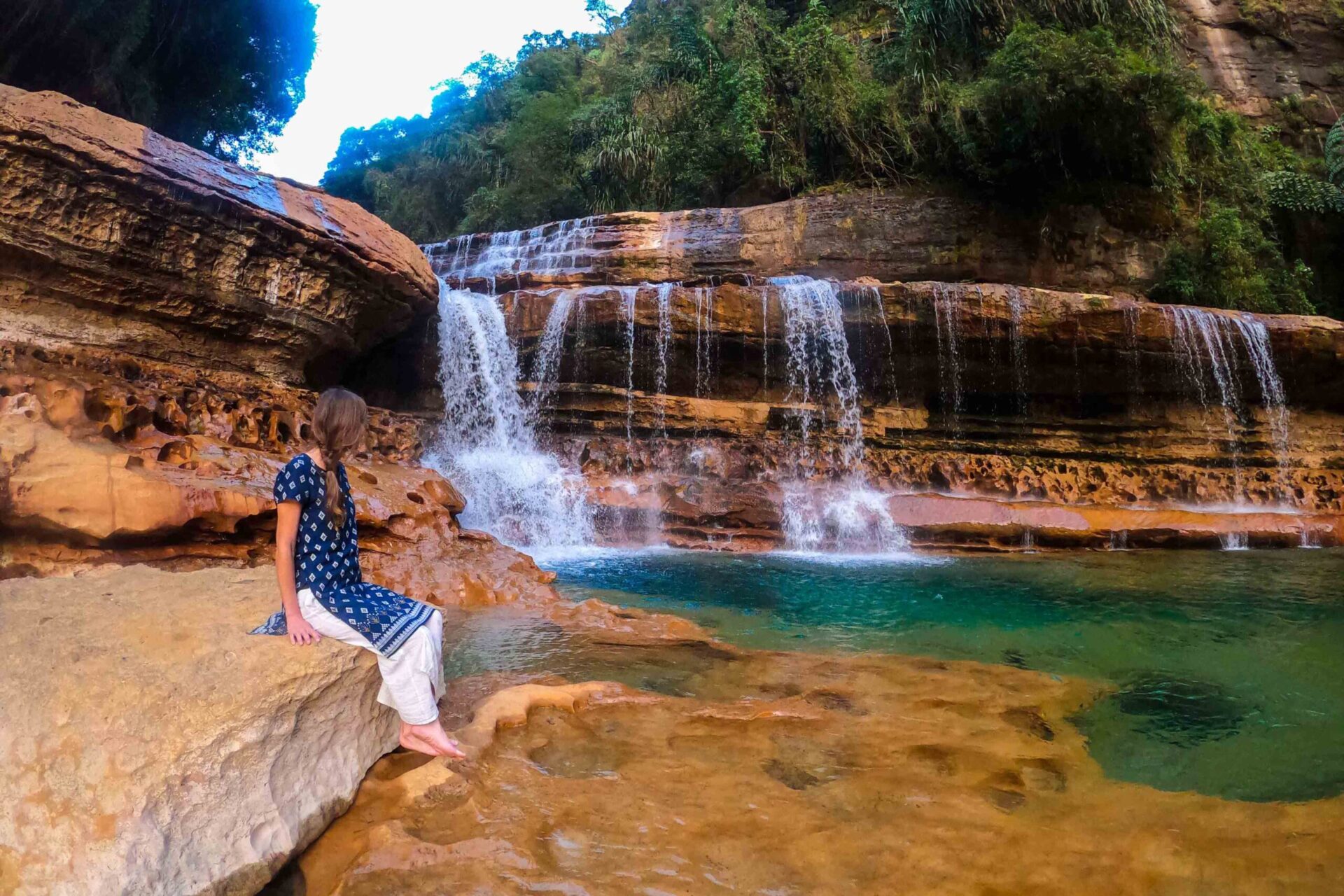
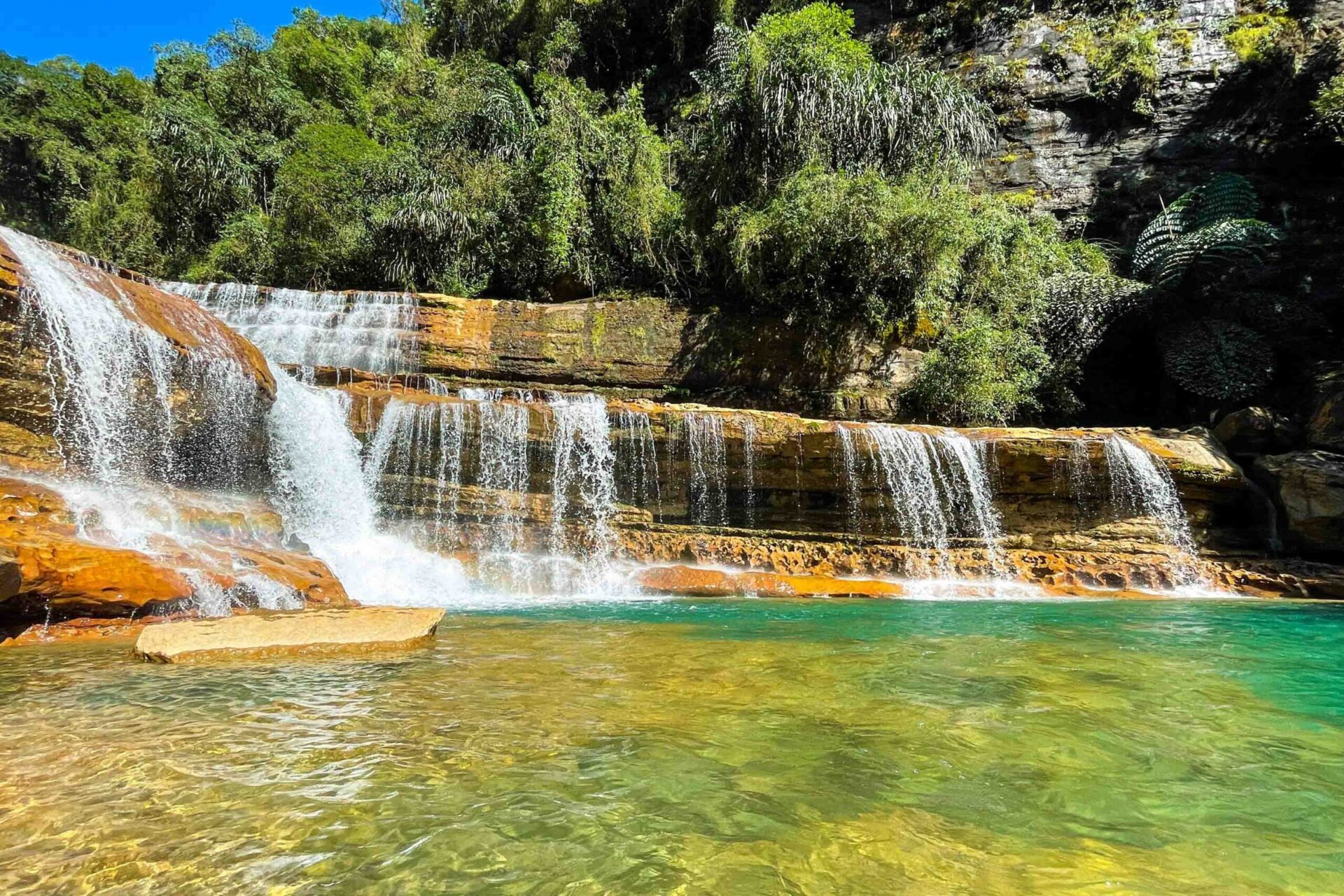
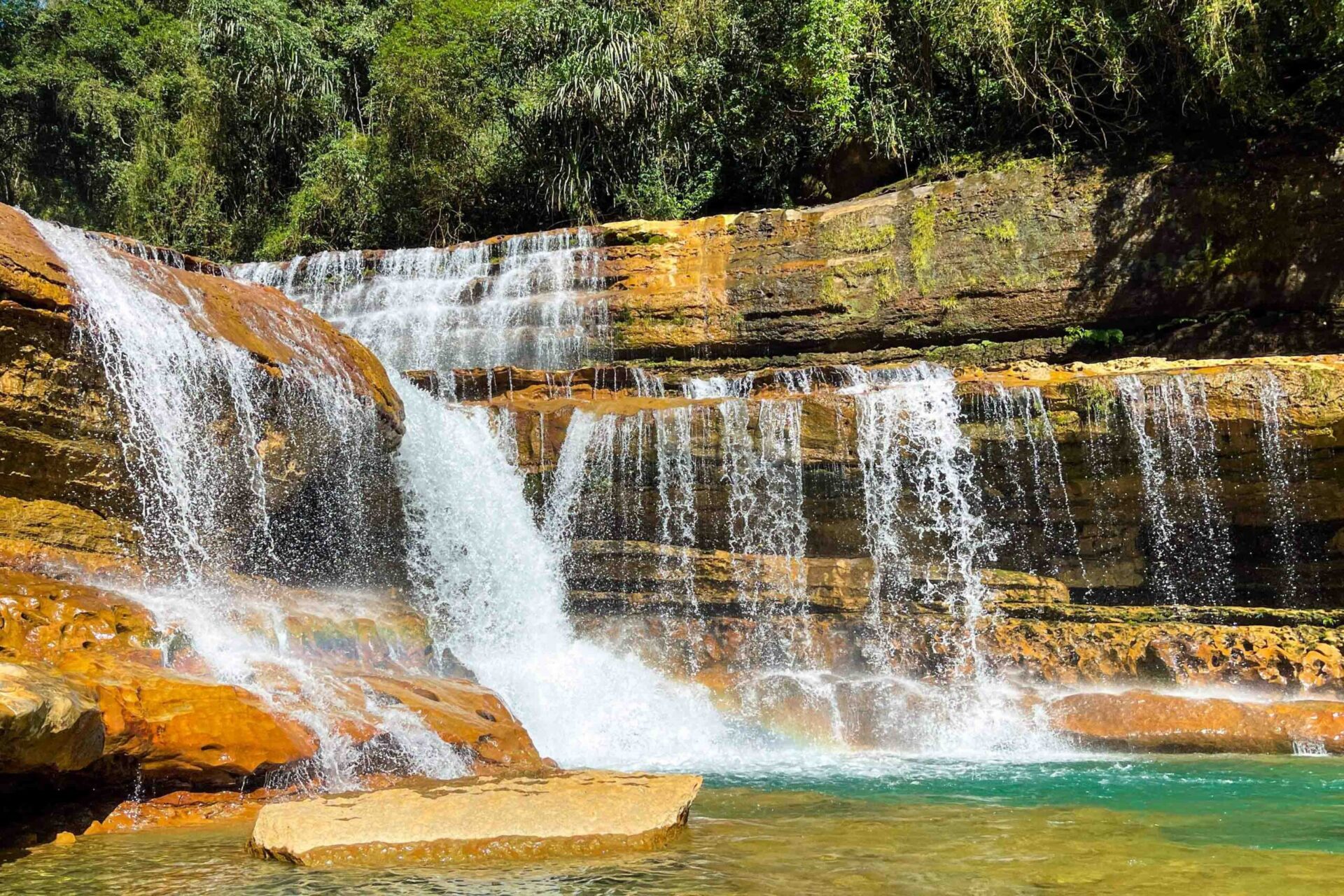
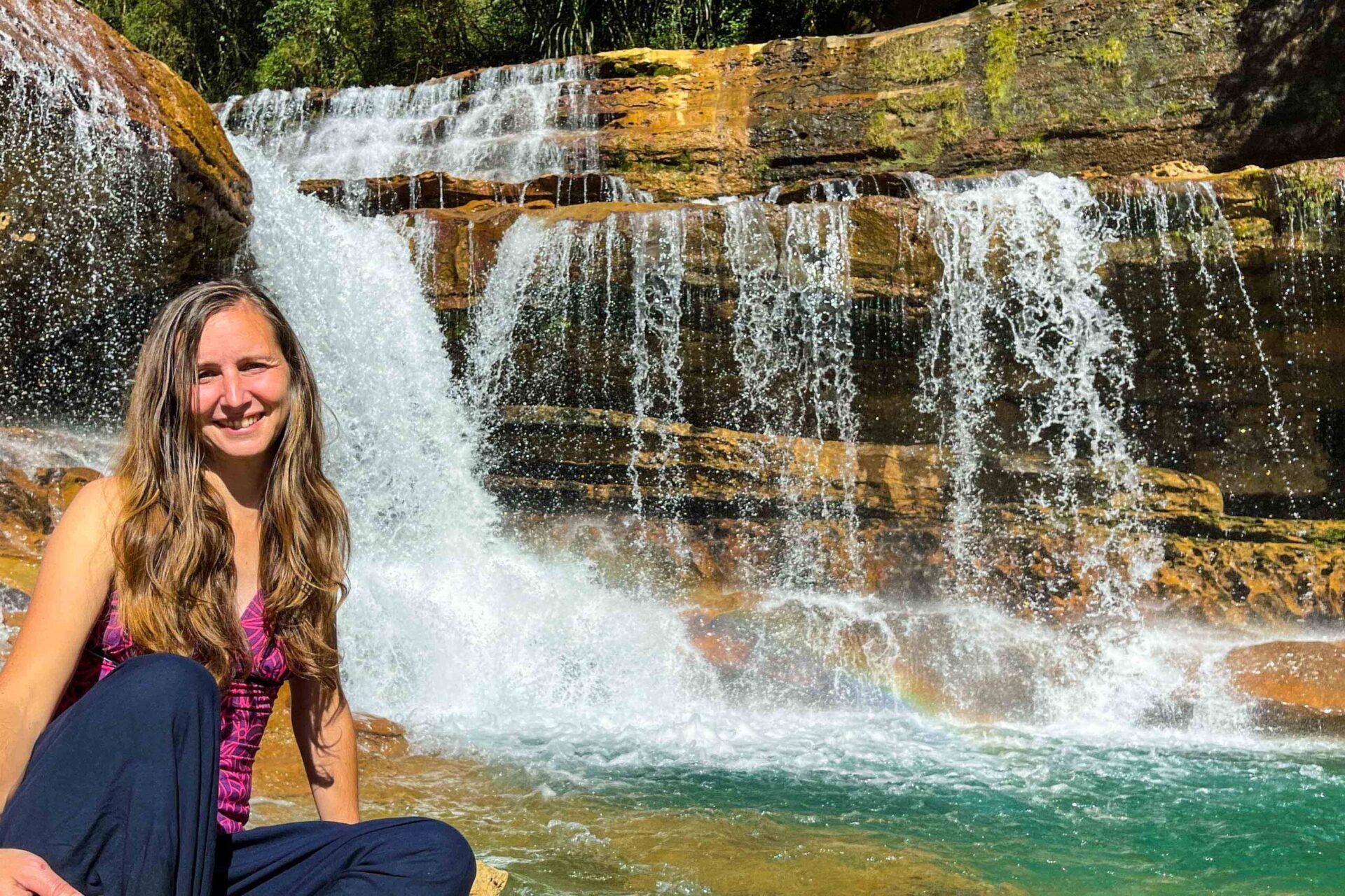
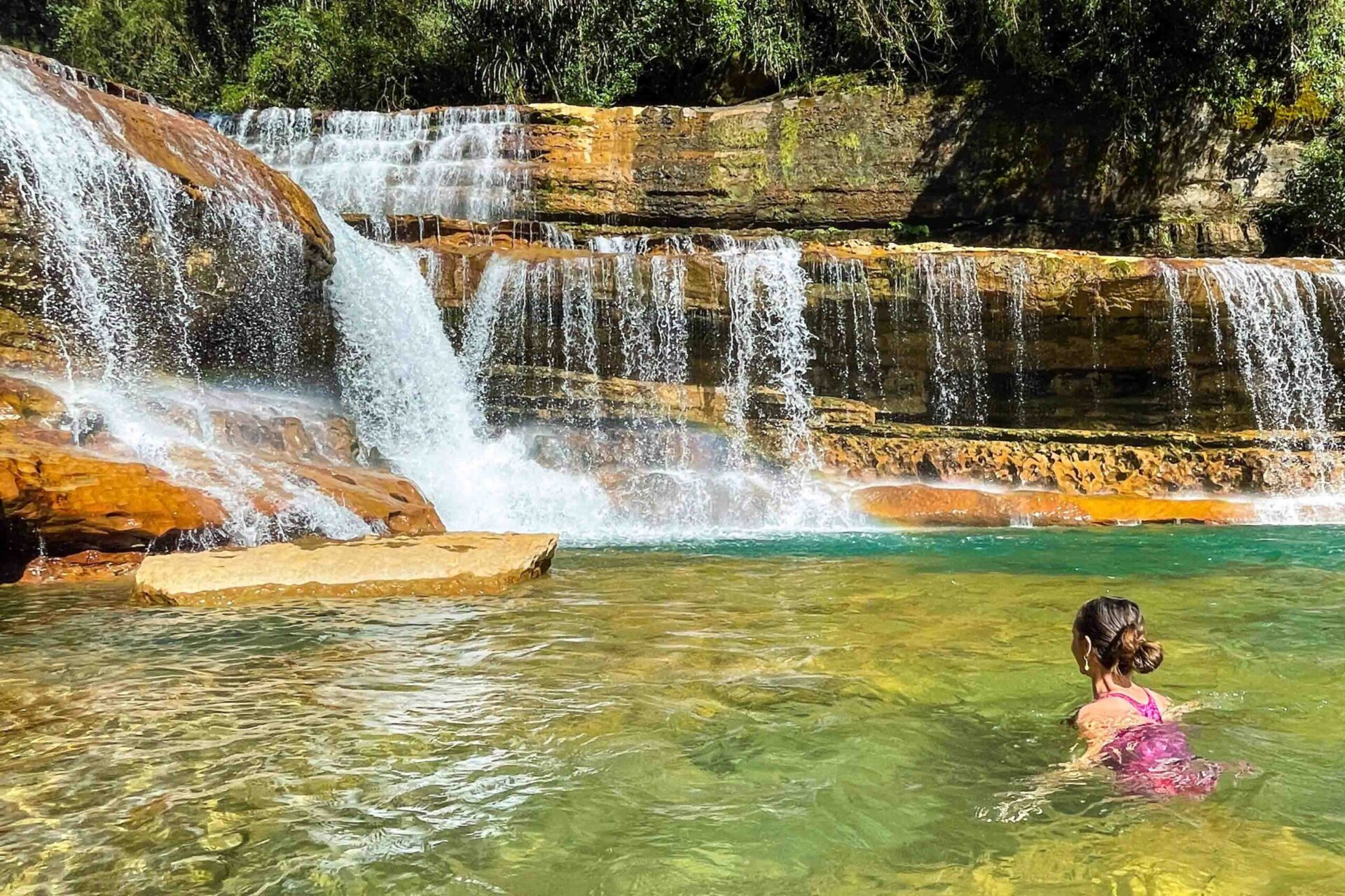
The trek to the top of Nohkalikai falls also leads you to Tlai falls, which is a beautiful waterfall located nearby. The Tlai falls is a great place to cool off and relax after a hike, and the clear blue water of the lagoon at the base of the falls is a perfect spot for swimming.
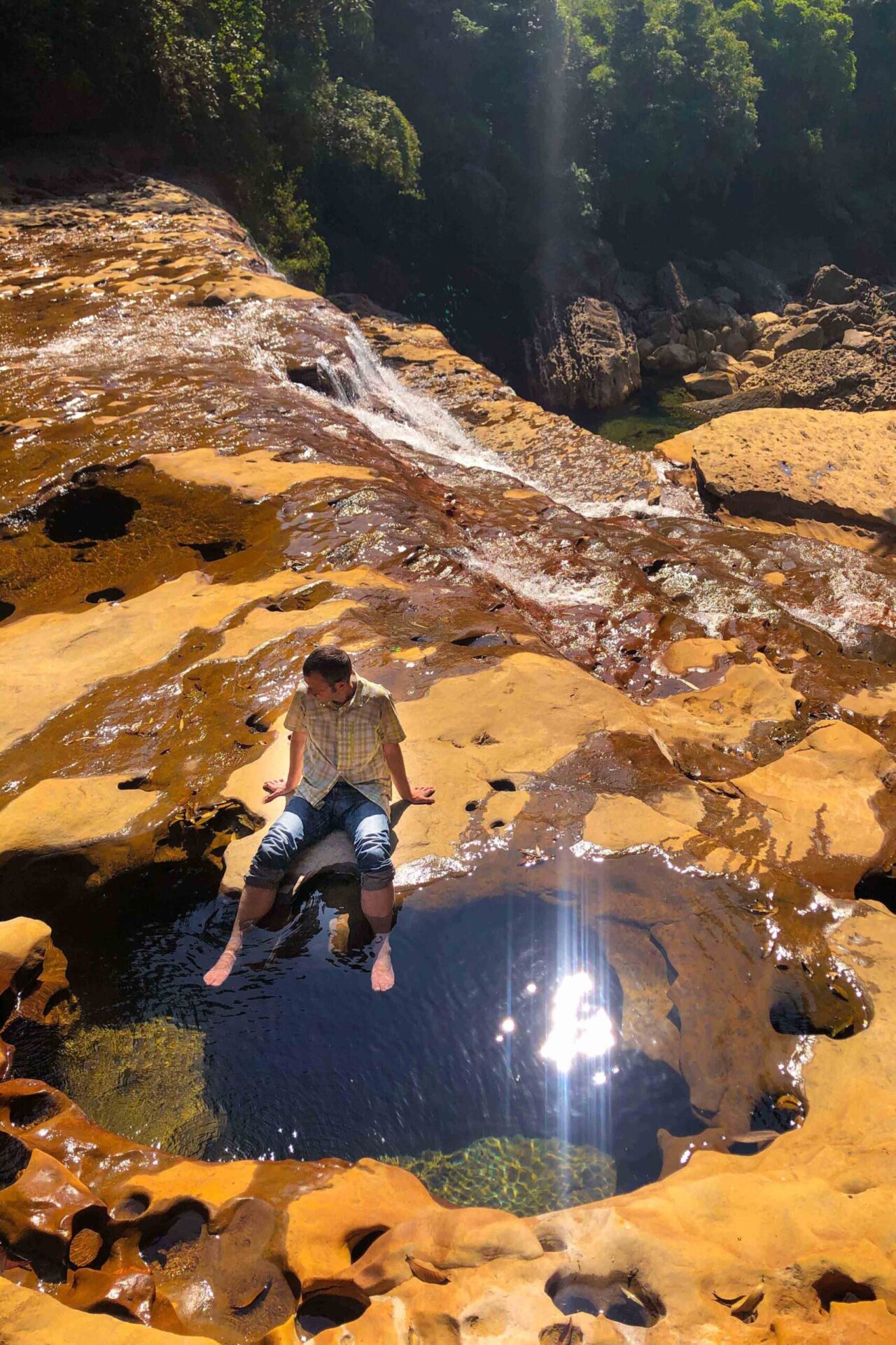
However, visitors should be cautious when swimming in the lagoon, as the water can be quite cold and the currents can be strong. If you can’t swim well, it’s better to avoid swimming in the lagoon and enjoy the beauty of the falls from the shore.
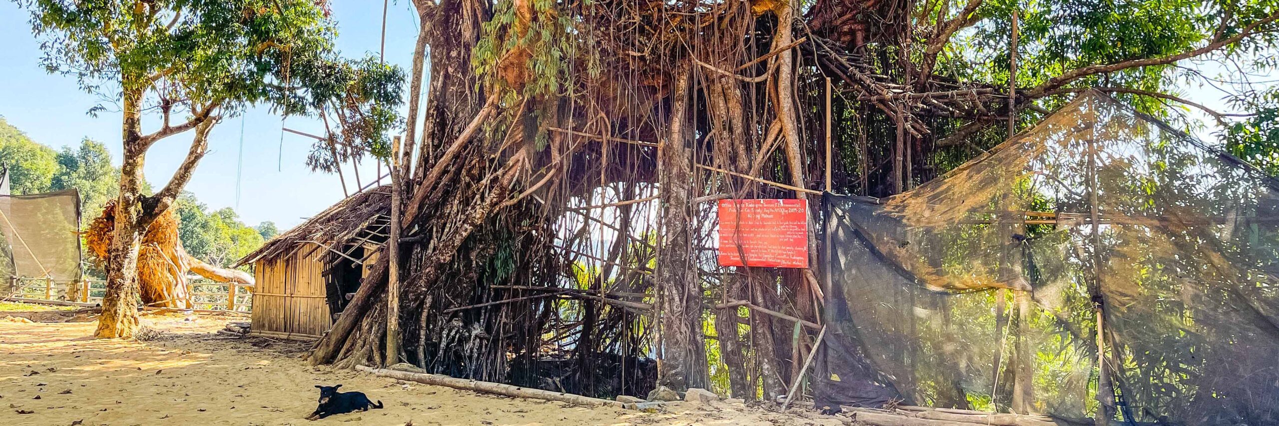
It’s important to remember to respect the natural environment and avoid littering and doing activities that can damage the natural beauty of the area, and also to be aware of safety precautions and guidelines when visiting the waterfall and take responsibility for your own safety.
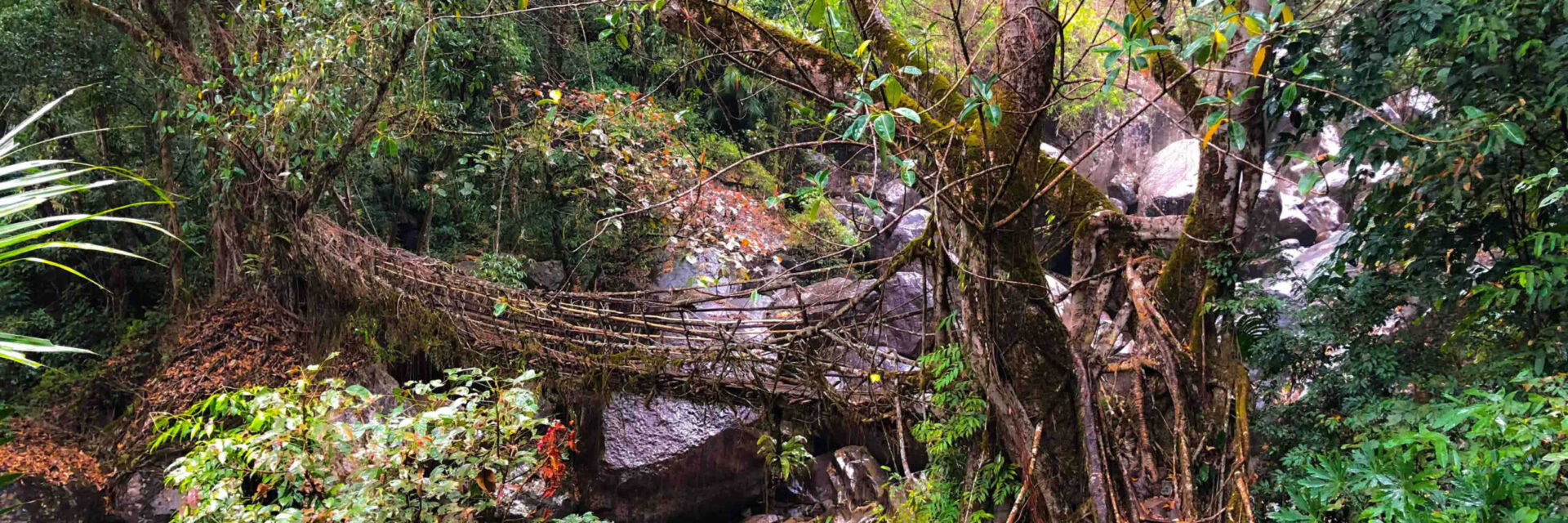
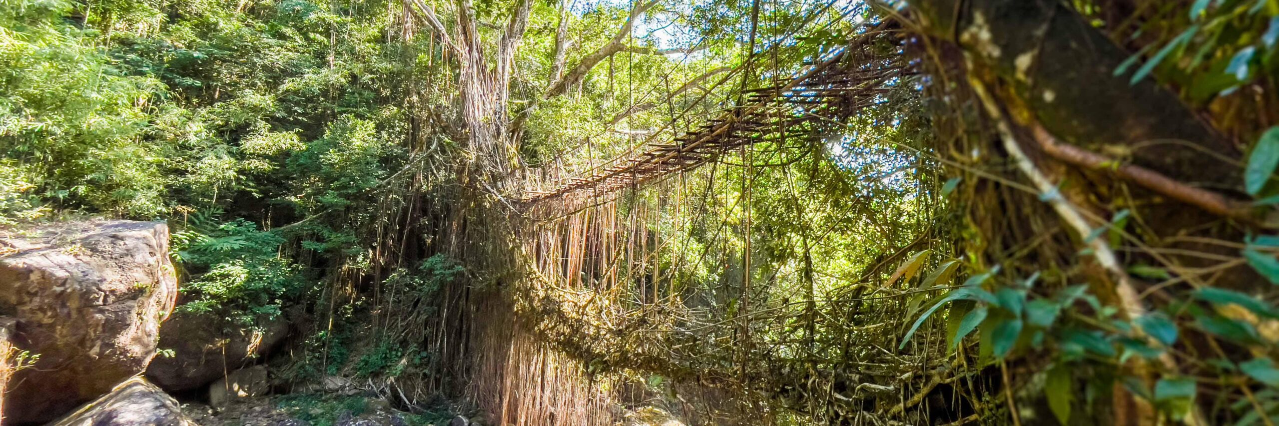
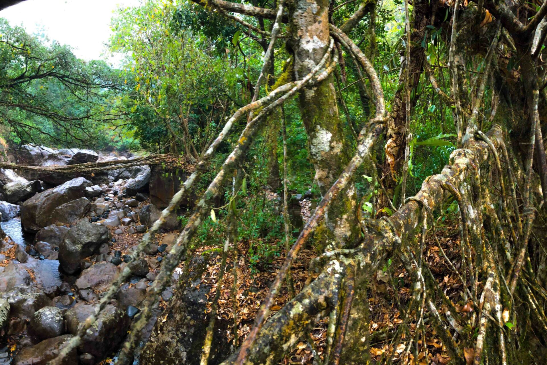
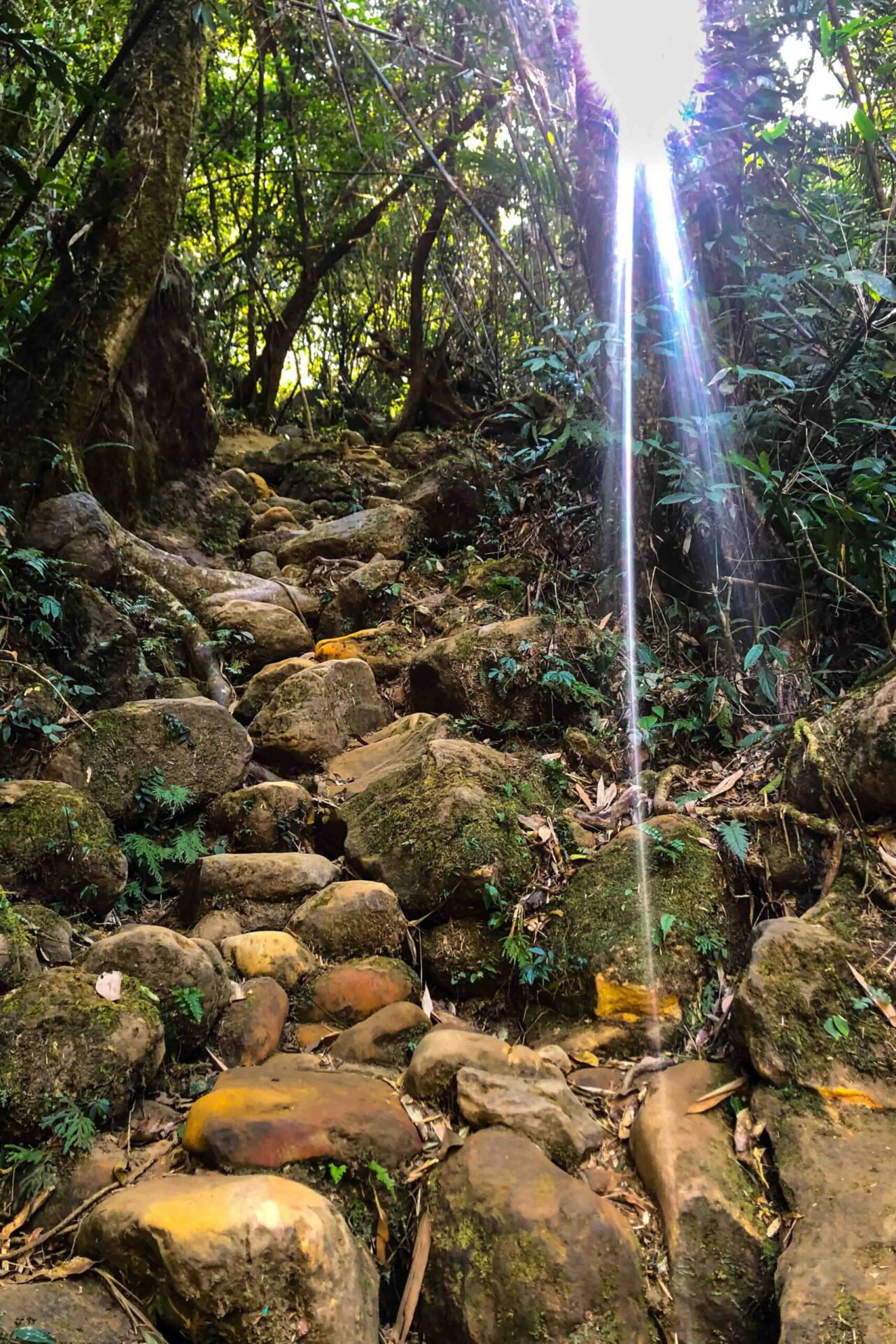
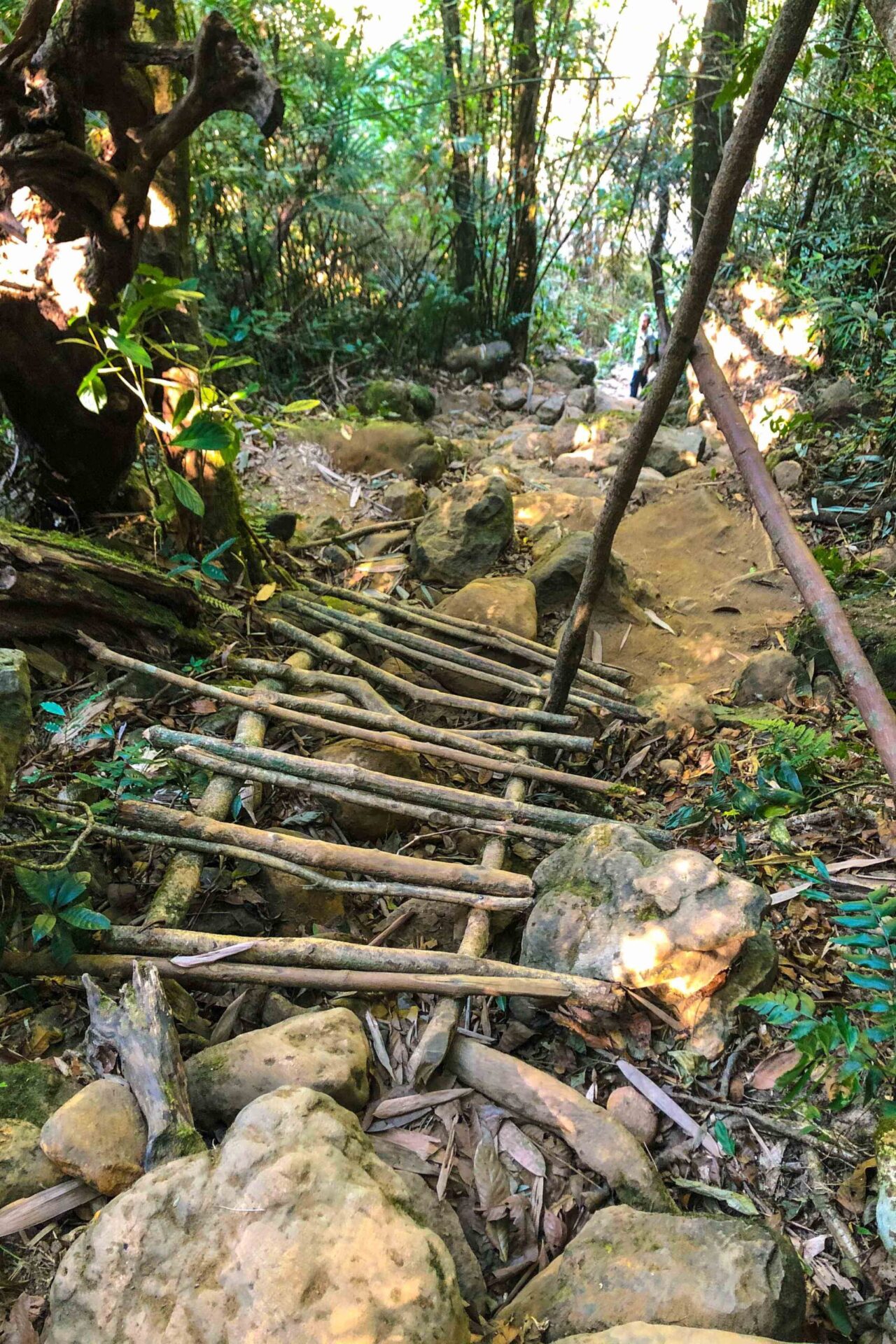
It’s worth to note that visiting the Tlai falls from the river bed requires a moderate level of physical fitness, and the trek can be slippery and difficult to navigate, so visitors should wear appropriate shoes and exercise caution while visiting.